What to expect in Arches v4.0 – mobile data collection, crowdsourcing, tiles
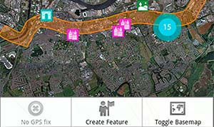
Farallon is hard at work with the Getty Conservation Institute on version 4 of Arches. Planned new features include mobile data collection, crowdsourcing data collection (think Waze), tile server for hi-res imagery and more.
Natural disasters inspire Philippines to use Arches to preserve cultural heritage

Two natural disasters stirred a crowd sourcing initiative to create the Philippines Heritage Map, an online cultural repository that went live in September.
Arches Asset Management Framework Handles More than Just Cultural Heritage
The Arches platform was designed with cultural heritage in mind, but it is easy to use the framework to create your own implementation to manage just about any type of data while leveraging the core data management capabilities.
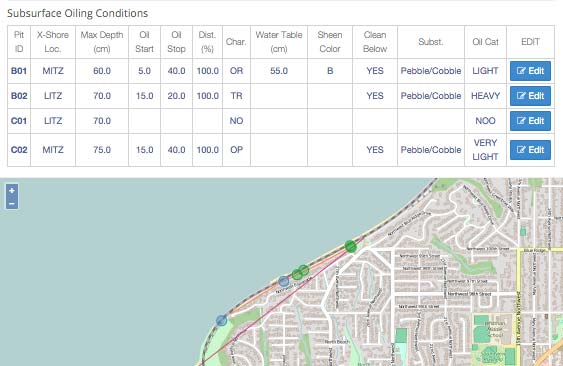
Reference Data Manager for Geographical Hierarchies: What, Why, and How

Managing reference data — data that typically resides in “master” tables — has been the bane of many an application database. This is particularly true for hierarchical reference data such as product and geographic hierarchies. With Arches 3.0, we address this.
Philippine Heritage Map cultural and inventory and management system powered by Arches
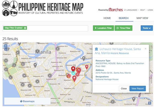
Philippine Heritage Map using Arches launches for inventory and management system of cultural properties and historic events around the Philippines.
3 Years of Enterprise Address System (EAS) at the City and County of San Francisco

It’s been over 3 years since, with Farallon’s help, San Francisco’s Department of Technology went live with the Enterprise Address System (EAS). The product has evolved to serve the SF enterprise in a variety of departments: Technology, Building Inspection, Public Works, Treasurer & Tax Collector, Public Health and Fire Department.
Adding geospatial support to Sequelize for Node.js
Working on a telecommunications modeling web application using Node.js, Postgres/PostGIS and Sequelize for ORM, we developed a Sequelize fork to support geometry datatypes.
[VIDEO] Overview of Arches v3.0 for geospatial management of cultural heritage
This video gives a good overview of applying the Arches framework to cultural heritage projects including elastic search, ontologies and data standards
Esri’s LGIM competes with customized GIS solutions for using geodata in local government
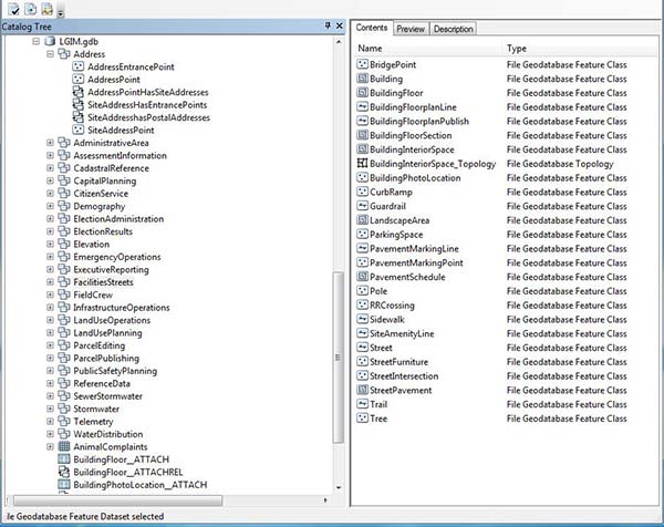
Local governments and municipalities have struggled for years to develop and maintain custom solutions to manage and use geodata within their enterprises. The Esri LGIM (Local Government Information Model) can offer a shrink-wrapped, more manageable solution.
Farallon recognized at launch party for Historic Places LA Geospatial Cultural Asset Manager
As the developer behind Arches and the Historic Places LA implementation, Farallon was the guest of honor at a series of HistoricPlacesLA launch events. The cultural heritage geospatial database tracks over 25,000 cultural resources in Los Angeles.
