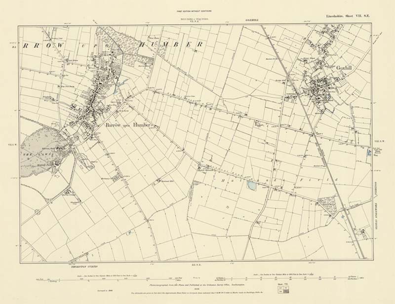
Integrate Historic Maps, Modern Aerial Imagery and Shapefiles in Arches v4 to Understand Cultural Significance

Working with Historic England, we use Arches v4 to integrate and compare the vast archive of historic maps for the the City of Lincoln with modern aerial images to better understand cultural significance.
