Challenge
Pacific Gas and Electric (PG&E) wanted a Android-based mobile application for viewing PG&E’s existing Gas and Electric Mapping System (GEMS) map files maps to support field crews performing pipelines inspections. The client required this application to support map files in TIFF format (not natively supported by Android), the ability to locate and track the user’s location, and make temporary markups to the map display.
Solution
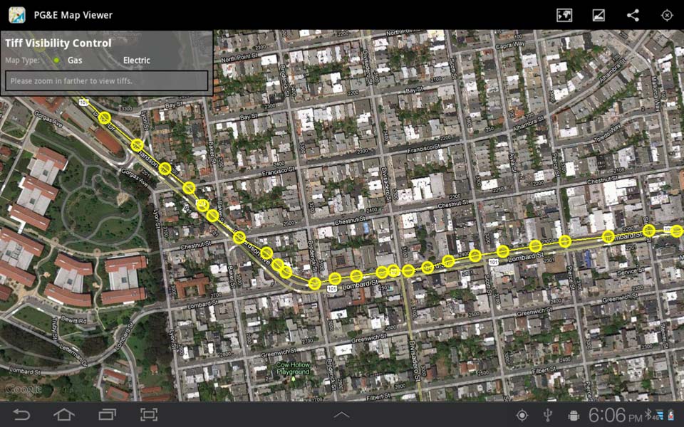
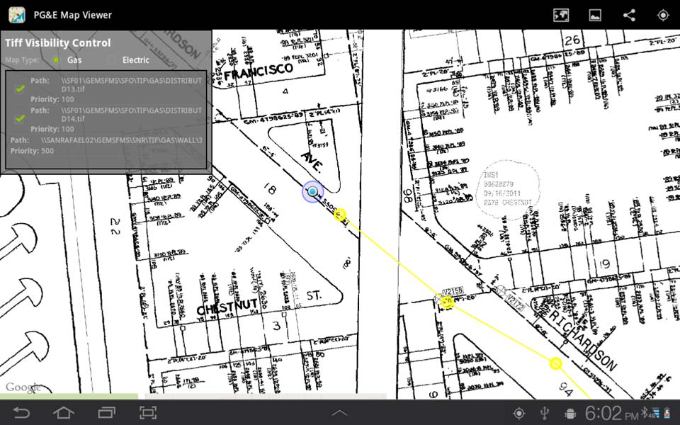
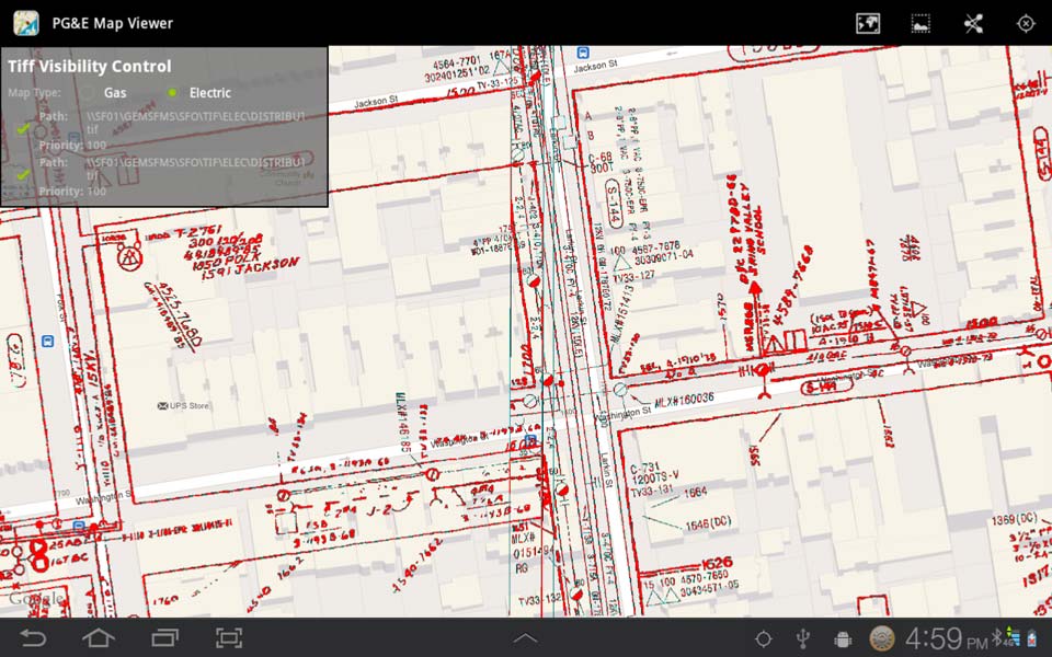
Farallon developed a customized mobile application capable of overlaying PG&E’s GEMS TIFF files on to Google maps data to aid in utility location and demarcation. The application was developed on the Open Source Android mobile platform, allowing it to be run seamlessly on a wide range of devices including tablets, smartphones, and modern high accuracy GPS devices. Farallon developed the mobile application to display the TIFF map files in both standard and transparent mode, giving users the option to navigate solely from the utility maps, from Google’s street or satellite views, or any combination thereof. In addition, the application supports synching with constantly updated TIFF map files pushed to the mobile device from PG&E on demand or at pre-scheduled intervals.
Users can easily locate themselves with the touch of a button. From there the user can choose their preferred base map and feature layers. Feature layers can be displayed as “standard” (marking in black with a white background) or “transparent” (markings in red with a standard base map). This unique arrangement allows users to reference their location on the utilities map using landmarks that may only be visible on the street map or satellite view.
This application provides a simple elegant solution for PG&E field crews locating and inspecting utilities lines throughout California. The simple user interface reduces training time and troubleshooting, while more advanced features, including base map selection and transparent feature layer mode allow users to easily and reliably locate themselves and important utilities in the field.
Screenshots & Videos