Last week, the Farallon team was thrilled to join with the broader GIS community and take part in CalGIS 2025 as bronze-level event sponsors. The conference was an awesome opportunity to see the exciting new innovations coming to our industry, share some of our own breakthroughs, and reconnect with old friends—while also welcoming new faces into the fold.
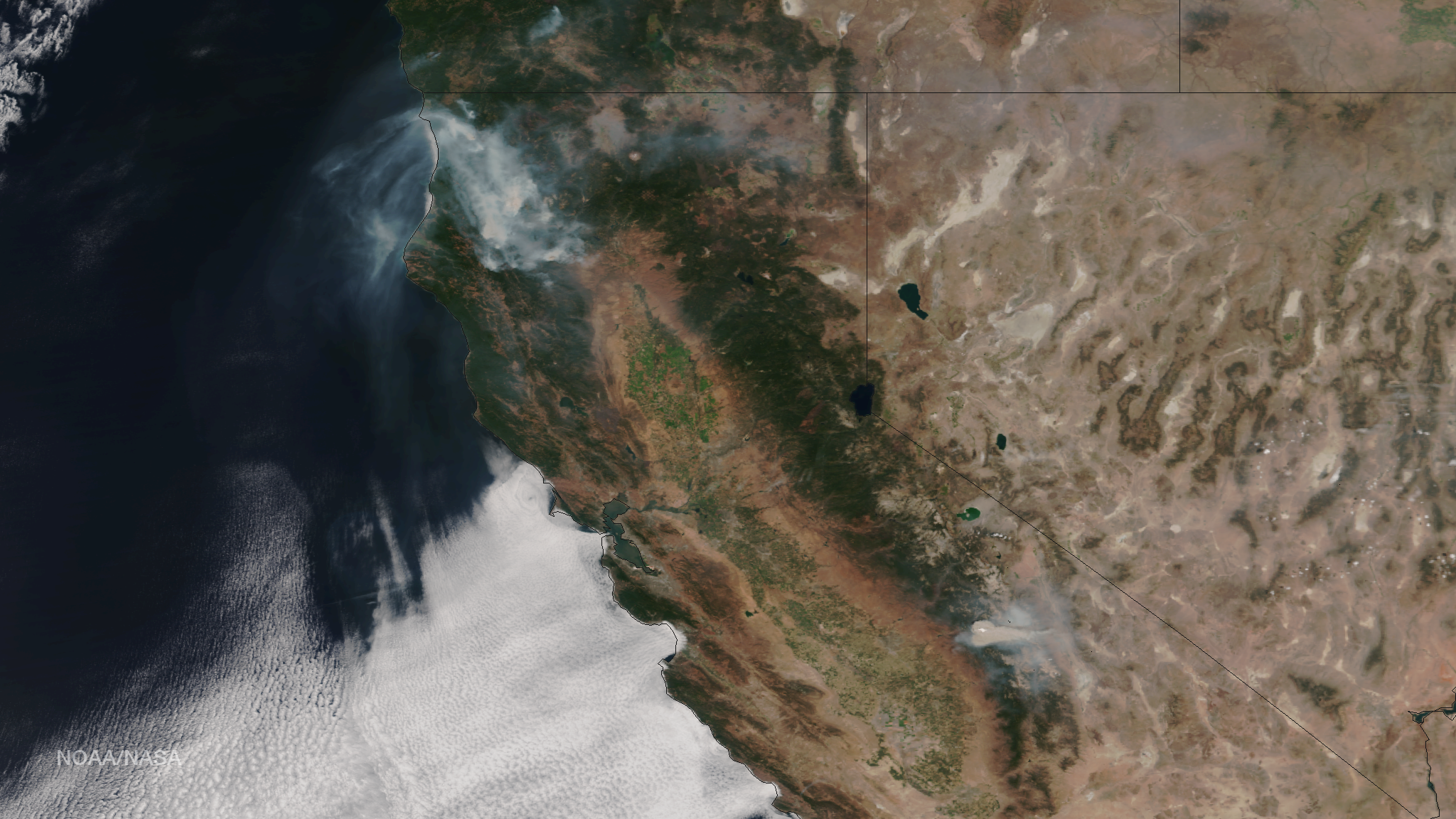
The Conference kicked off officially with a powerful Keynote presentation by Nick Russell, Vice President of Operations at Watch Duty, the revolutionary GIS application helping emergency responders and citizens alike prepare for and take action when wildfires threaten their local communities. The message he relayed was clear: the crux of GIS is creating a single source of truth from your data streams and truly understanding what that data means.
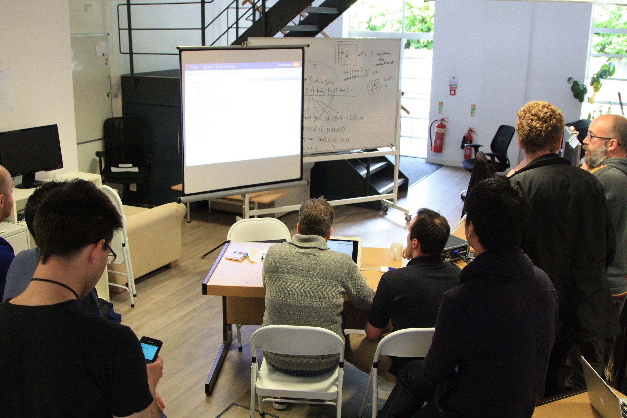
As a bronze sponsor, Farallon had the opportunity to hold a seminar at CalGIS, and our seminar was certainly distinct from our peers. Choosing to walk on the wild side and combine their 30 minute time slots, Farallon Project Director Adam Lodge and Geospatial Systems Consultant Peter Hansen engaged the audience in a buddy-cop-esque exploration of Arches’ history from its roots in the Middle East with MEGA Jordan to its evolution into a robust, flexible asset management platform.
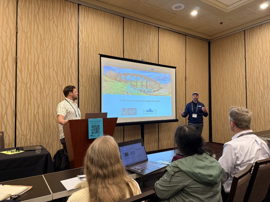
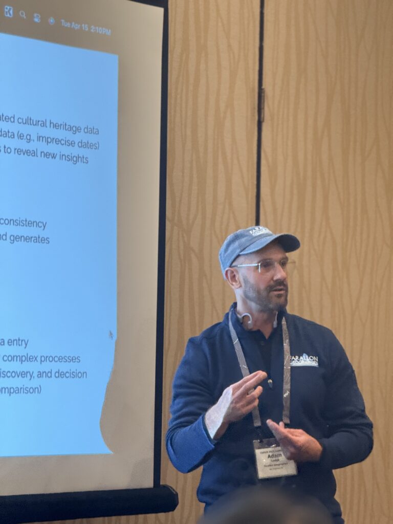
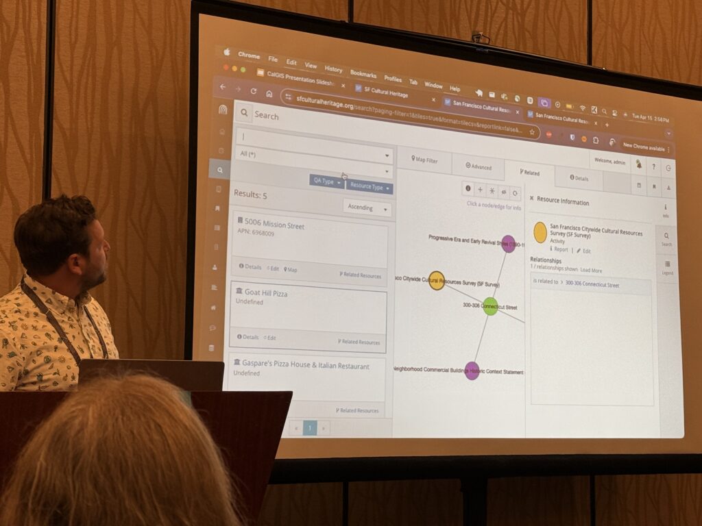
The seminar dove into Arches’ key features—many of which we’ve explored in previous posts—but also showcased some of the exciting ways Arches integrates with traditional GIS like QGIS, ArcGIS, Survey123, and Field Maps. These integrations allow users to manage and analyze their data seamlessly, drawing insights from a truly unified system. More than that, they help reveal previously hidden relationships between datasets, transforming how organizations think about their data.
One of the most thought-provoking moments came during the Q&A. When Adam and Peter were asked about the biggest challenge in adopting Arches, CalGIS attendee Olga Tambazidis shared her experience as an Arches user and noted how deeply her team were forced to think about their data when constructing models. That comment echoed a central theme of the conference. Highlighting technology is all well and good, but this point revealed the purpose of holding events like CalGIS. While technology is vital, it’s the people—the analysts, planners, developers—who give data its meaning. Tools don’t replace human understanding; they amplify it.
It’s been a revelation for all of us here at Farallon to see Arches flourish across the globe, and to have new faces come up to our booth after the presentation and discuss how the platform is relevant to their work fills us with pride, as well as excitement to see how the community at large will shape its future moving forward. There are so many thoughtful, intelligent members of our boarder GIS community.
We were privileged to run into old friends, colleagues and clients alike, and learn how our impact on those communities has been felt throughout the years. It was gratifying to hear from several old clients that our partnerships had proven beneficial all these years later, even in the cases where old solutions had been decommissioned.
One past client put a name to the face of our impact when they said, “we’ve since sunsetted the project, but you guys [Farallon] changed the way we think and set us on our current path”.
At the end of the day, that is what is most important when considering the purpose of community engagement at a conference like CalGIS—sharing expertise to build a more holistic solution. Not networking for new business or driving adoption of new products, although those have their place in the spotlight for everyone involved; rather, helping foster a new perspective on how others’ problems can be solved. This can take many forms, whether it be sharing new technology that has the potential to streamline business process workflows, conferring over potential industry shifts, or simply lending an ear to the frustrations experienced by our fellows.
Stay tuned for our next blog post where we’ll take a deeper dive into this mentality and how it shapes our approach to project management.
Photo Credit: NASA