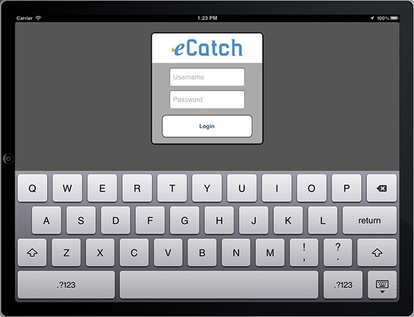
 eCatch is an iPad application developed by The Nature Conservancy with Farallon Geographics’ help that uses crowd-sourcing to collect, map and share the location of fish species for in-season adaptive fisheries management. Fisherman at sea use the app to report areas where they caught overfished species and learn from other fisherman the location of more abundant species.
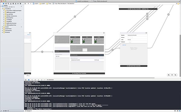
eCatch was originally developed as an HTML5 application for device portability. This however limited the ability to use the iPad’s native capabilities such as GPS, external device connectivity or built-in messaging/sharing. Farallon is now working with TNC to develop a native iOS version of eCatch.
The new native iOS version will access the iPad’s internal GPS as well as enable connection to an external GPS to improve GPS reception and increase the spatial accuracy of recorded catch locations.
We are designing the interface to implement iOS UI conventions but still remain as consistent as possible with the HTML5 version so that fisherman can be immediately familiar and comfortable with the new application.
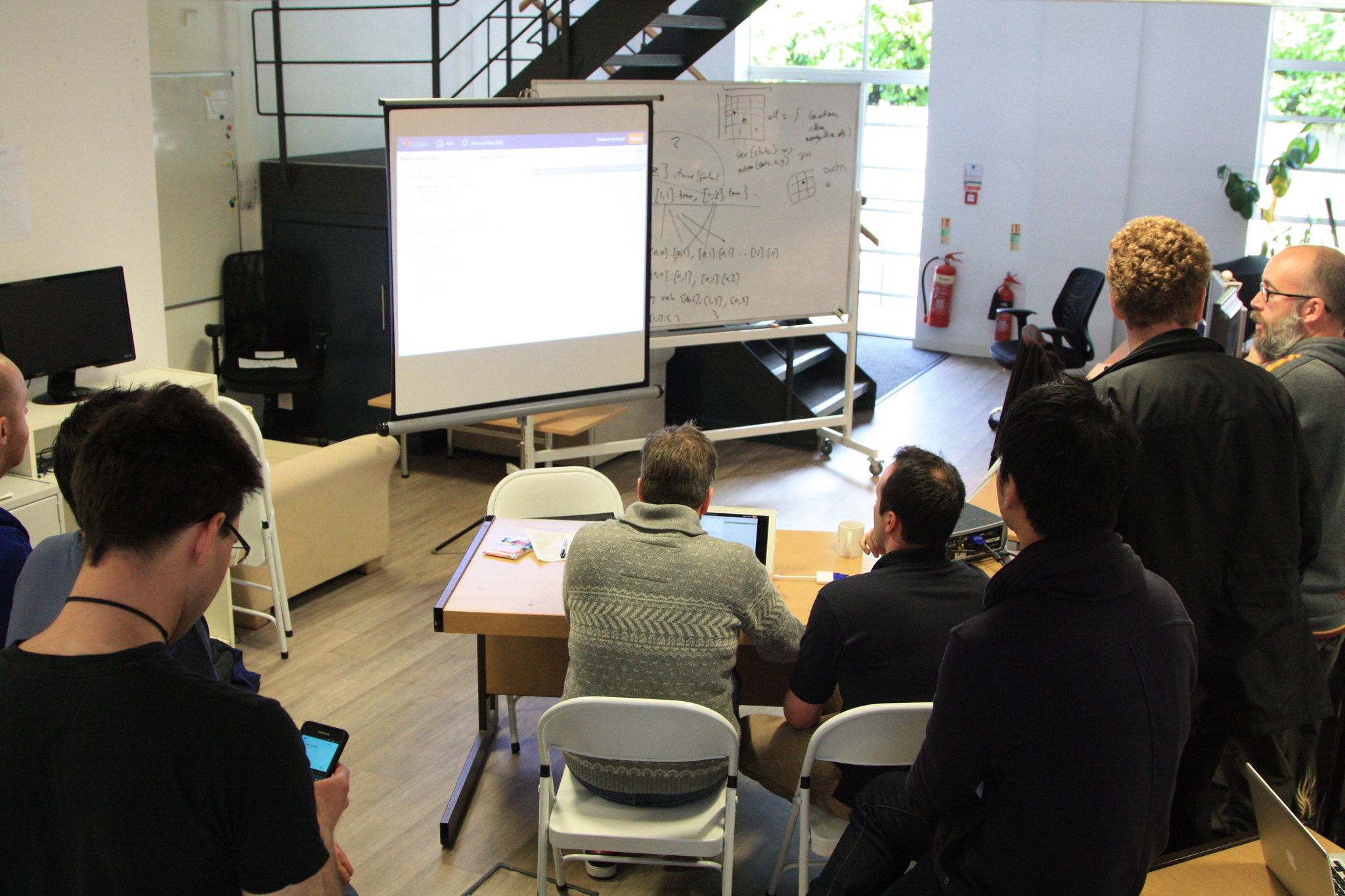
Development using the iOS SDK is going well. The one challenge we face is how to get rapid, iterative feedback in real-world testing scenarios. Our office near the Transamerica building can’t really replicate the conditions of being out at sea. Fortunately we have a TNC tester who goes out on a fishing vessel and gives us feedback with each major iteration.
We anticipate the application being in the water later this year.