Skip to content

Day: April 18, 2017

Port of San Francisco Uses Enterprise GIS to Prepare for Sea Level Rise Caused by Climate Change
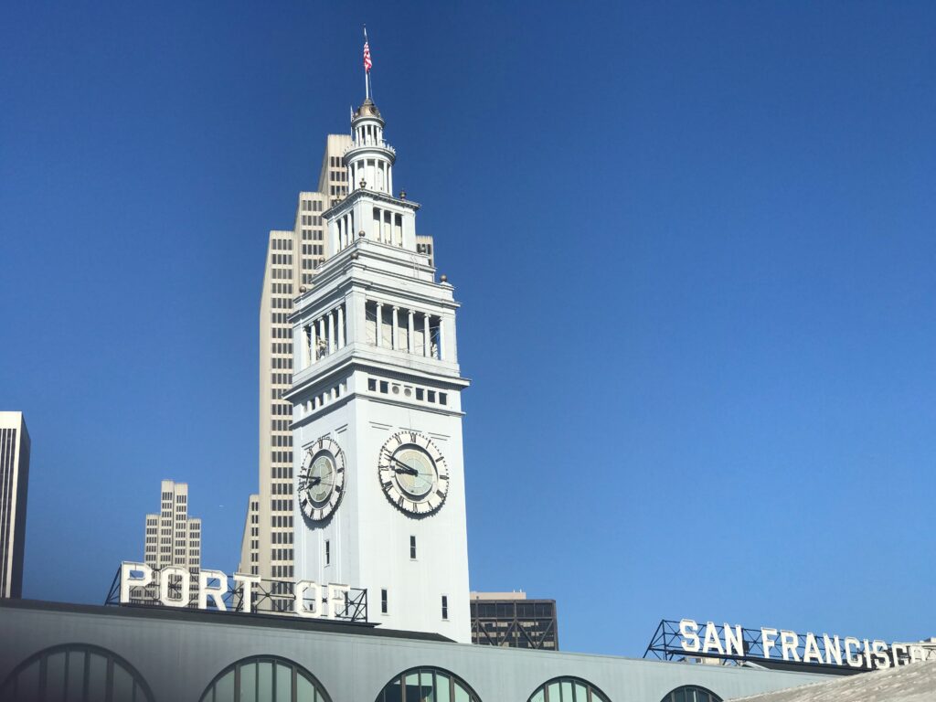
Like many coastal cities, San Francisco is developing Sea Level Rise Action Plan to prepare for sea-level rise as a result of climate change. The Port of San Francisco, located on the water, is inherently more vulnerable than any other piece of infrastructure.  The Port of San Francisco is working with Farallon Geographics to develop an […]

Expertise

FARL_Divider_Graphic-cropped

Fluency

capabilities

  • Arches Platform
  • Arches Collector
  • Arches/ArcGIS Plugin
  • Full suite of Esri Enterprise GIS
  • Python – particularly using the django framework
  • Elastic Search
  • Javascript (Node js, Vue, D3)
  • Sophisticated spatial sql
  • Mapbox toolset, including Mapbox G
  • Mobile – Android and iOS  – development
  • RDBMS: Postgres, Oracle, Sql Server
    Nosql Databases: Mongo, Couch
  • Amazon Web Services

capabilities

  • Asset Management
  • Enterprise Addressing
  • Geodatabase Design
  • GIS IT Integration
  • GIS Needs Assessment
  • GPS Field Data Collection
  • Network GIS
  • Notification
  • Open Standards
  • Pavement Management
  • Property Review
  • Spatial Data Processing
  • Strategic Planning & Training
  • Transportation & Linear Networks
  • Utility System Data Modeling
  • Web Applications

We're Here to help

FARL_Divider_Graphic-cropped
We’d love to learn more about your particular GIS needs, and we’re confident we can help.
Please don’t hesitate to kick things off with a call. 415-227-1140

580 California St., 16th Floor
San Francisco, CA 94104

(415) 227-1140

info@fargeo.com

Home
GIS Deployment
Solutions & Applications
Data Integration
Strategic Planning
Arches
Case Studies
Blog
Contact