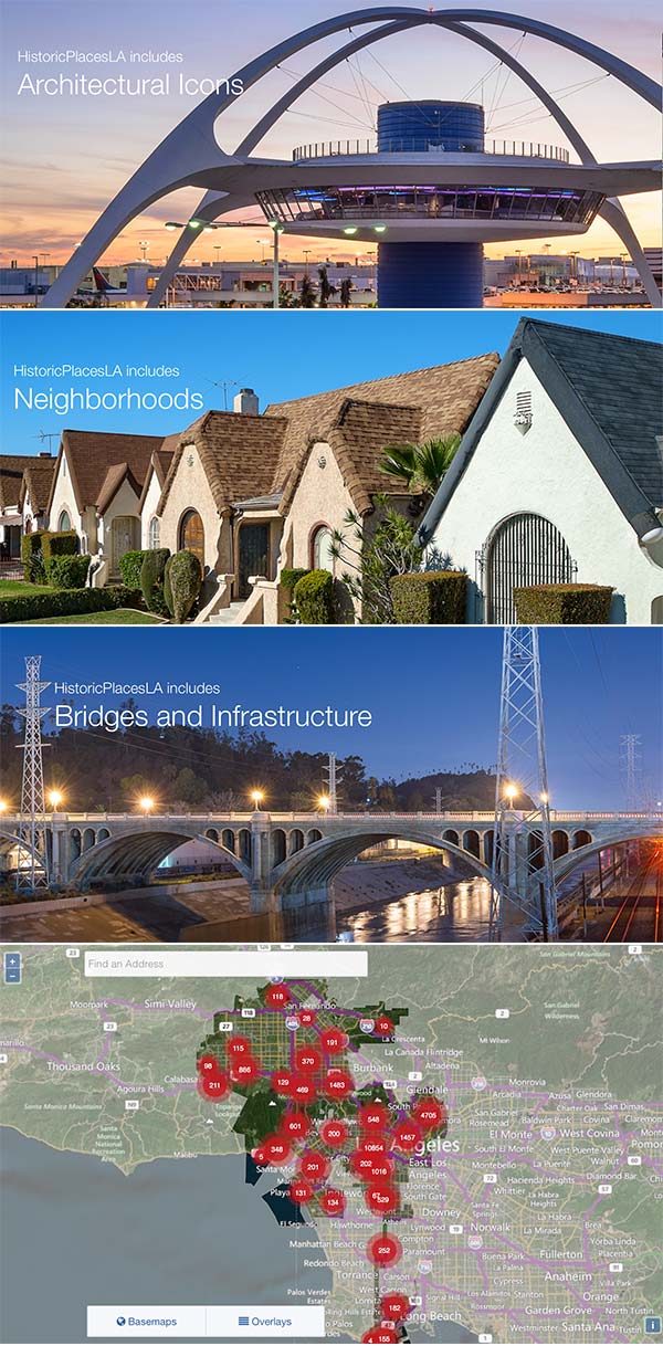
Last Tuesday, the Getty Conservation Institute and the City of Los Angeles officially launched HistoricPlacesLA.org. This interactive site built on the geospatial Arches framework, allows historians, tourists, businesses, city planners and developers to search for places of historic importance by neighborhood or by categories, such as Modernism, the entertainment industry and pre-1900 L.A.
The implementation geo-locates, catalogs and annotates about 25,000 resources, including 29 L.A. Historic Preservation Overlay Zones, 430 historic districts, 1,065 L.A. Historic Cultural Monuments and 300 places designated by the National Register of Historic Places. The LA Times has more details on the project.
In addition to preserving cultural heritage, HistoricPlacesLA makes it easy and fast for city planners, developers and property owners to get critical upfront information that they can use in any planning and development process. No more surprises. No more miscommunications.
As the developer and co-visionary behind Arches and the Historic Place LA implementation, Farallon was the guest of honor at a series of events at the opening events.
About Arches
Developed by the Getty Conservation Institute and the World Monuments Fund with Farallon Geographics as the geospatial, UI and application design development team, the Arches projectis an open source, web- and geospatially based information system designed to inventory and manage all types of immovable heritage, including archaeological sites, buildings, structures, landscapes, and heritage ensembles or districts. It is a solution that is both applicable and relevant to a broad spectrum of heritage organizations all over the world, while also incorporating complex functions such as semantic ontology, graph database, elastic search and built-in mechanisms to enforce data standards. Check out some of the features in Arches V3.0.
About HistoricPlacesLA
HistoricPlacesLA provides information on historic resources designated through local, state, and federal programs as well as resources recorded through survey efforts such as SurveyLA. Currently it includes detailed information on about more than one half of the City’s Historic-Cultural Monuments as well as data on City-designated resources and districts, California-designated resources, and National Register properties.